Lat: 59.359756591309 Long: 11.906014716726
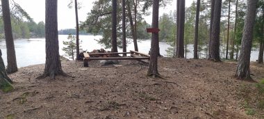
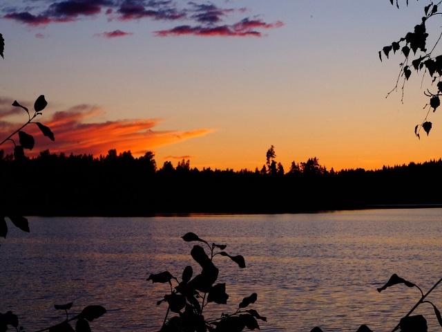
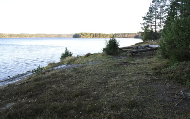
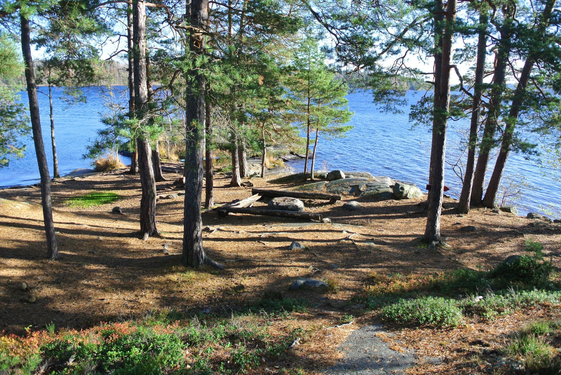
Getön Västra Udden is a small DANO campsite without a shelter, suitable for small groups and a maximum of two canoes. The site is not intended for larger groups.
Fire pits: 1
Toilets: 1
Wind shelters: 0
Nearest campsite: Campsite 14
Show on map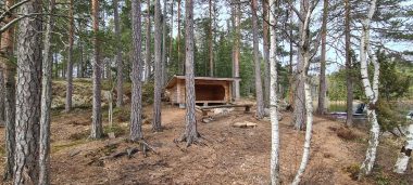
Fire Pits: 1
Toilets: 1
Wind shelters: 1
Closest wind shelter: Campsite 31 Rävhåleviken – Nedre Blomsjön
Show on map
Fire pits: 1
Toilets: 1
Wind shelters: 1
Closest wind shelter: no. 2 Rotön on Norra Kornsjön.
Show on map
Fire pits: 1
Toilets: 1
Wind shelters: 1
Closest wind shelter: no. 1 Lovön Norra Kornsjön
Show on map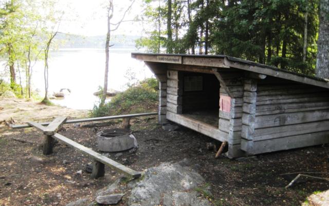
Fire Pits: 1
Toilets: 1
Wind shelters: 1
Closest wind shelter: no. 4.1 and 4.2 Skottön
Show on map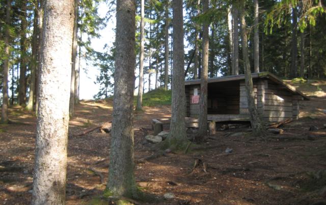
Fire Pits: 2
Toilets: 1
Wind shelters: 1
Closest wind shelter: no. 4.2 Skottön Syd located on the same island south of the campsite 4.1.
Show on map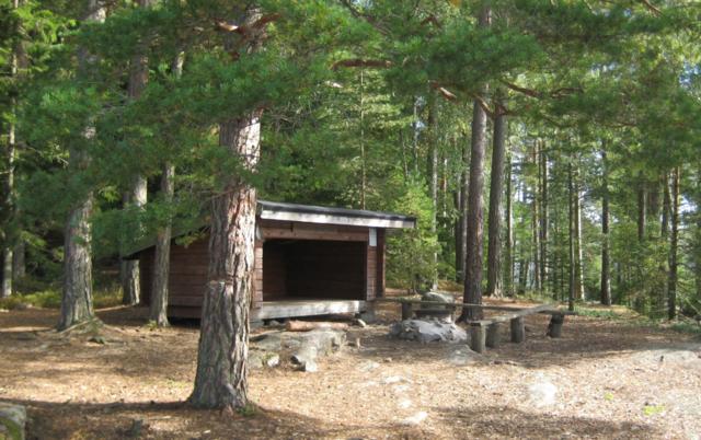
Fire Pits: 1
Toilets: 1
Wind shelters: 1
Closest wind shelter: no. 4.1 Skottön Nord is located on the same island, south of the campsite 4.2.
Show on map
Fire Pits: 2
Toilets: 2
Wind shelters: 1
Closest wind shelter: no. 4.1 Skottön Nord
Show on map
Fire Pits: 1
Toilets: 1
Wind shelters: 1
Closest wind shelter: no. 5 Furustad south of Nössemark
Show on map
Campsite 7 Trollön is situated on an island in the south western part of the lake Stora Le.
Wind shelters: 1
Fire Pits: 3
Toilets: 1
Closest wind shelter: no. 8 Trollön
Closest grocery: Nössemark
Wind shelters: 1
Fire Pits: 2
Toilets: 1
Closest wind shelter: no. 9 Könnemyren
Show on map
Fire Pits: 1
Toilets: 1
Wind shelters: 1
Closest wind shelter: no. 8 Trollön
Show on map
Fire Pits: 1
Toilets: 1
Wind shelters: 1
Closest wind shelter: no. 11 Tullön - Stora Le
Show on map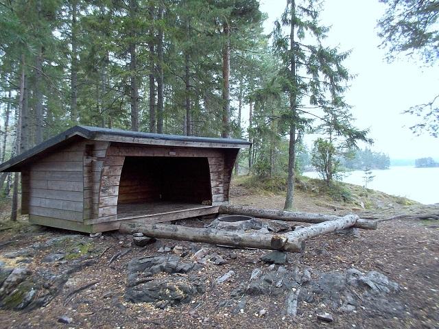
Fire Pits: 2
Toilets: 1
Wind shelters: 2
Closest wind shelter: no. 10 Hästön - Stora Le
Show on map
Fire Pits: 1
Toilets: 1
Wind shelters: 1
Closest wind shelter: no. 13 Getön Syd - Foxen
Show on map
Fire Pits: 3
Toilets: 1
Wind shelters: 0
Closest wind shelter: no. 14 Getön Väst - Foxen
Show on map
Fire Pits: 1
Toilets: 1
Wind shelters: 0
Closest wind shelter: no. 16 Getön Nord - Foxen
Show on map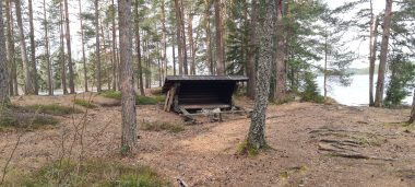
Fire Pits: 2
Toilets: 1
Wind shelters: 1
Closest wind shelter: no. 16 Getön Nord - Foxen
Show on map
Fire Pits: 1
Toilets: 2
Wind shelters: 1
Closest wind shelter: no. 15 Getön Öst - Foxen
Show on map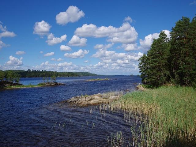
Fire Pits: 1
Toilets: 1
Wind shelters: 1
Closest wind shelter: no. 11 Tullön - Stora Le
Show on map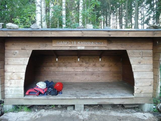
Fire Pits: 1
Toilets: 1
Wind shelters: 1
Closest wind shelter: no. 17 Getöarna - Foxen
Show on map
Fire Pits: 1
Toilets: 1
Wind shelters: 1
Closest wind shelter: no. 18 Kattebäcen - Foxen
Show on map
Fire Pits: 1
Toilets: 1
Wind shelters: 1
Closest wind shelter: no. 21 Upprann Väst - Foxen
Show on map
Fire Pits: 1
Toilets: 1
Wind shelters: 1
Closest wind shelter: no. 20 Upprann Öst - Foxen
Show on map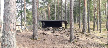
Fire Pits: 1
Toilets: 1
Wind shelters: 1
Closest wind shelter: no. 21 Upprann Väst - Foxen
Show on map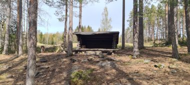
Fire Pits: 2
Toilets: 1
Wind shelters: 1
Closest wind shelter: no. 22 Kalvön - Foxen
Show on map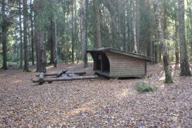
Fire Pits: 2
Toilets: 1
Wind shelters: 1
Closest wind shelter: no. 25 Ulvenäsmossen - Töck
Show on map
Fire Pits: 1
Toilets: 1
Wind shelters: 1
Closest wind shelter: no. 24 Campsite Sandaön - Töck
Show on map
Fire Pits: 1
Toilets: 1
Wind shelters: 0
Closest wind shelter: no. 27 Vintran - Östen
Show on map

Fire Pits: 1
Toilets: 1
Wind shelters: 1
Closest wind shelter: no. 26 Rönningsholmen
Show on map
Fire Pits: 1
Toilets: 1
Wind shelters: 1
Closest wind shelter: no. 27 Vintran - Östen
Show on map
Fire Pits: 1
Toilets: 1
Wind shelters: 0
Closest wind shelter: no. 28 Navarviksön - Östen
Show on map
Fire Pits: 1
Toilets: 1
Wind shelters: 1
Closest wind shelter: no. 31 Rävhåleviken - Nedre Blomsjön
Show on map
Fire Pits: 1
Toilets: 1
Wind shelters: 1
Closest wind shelter: no. 31 Hagholmen - Nedre Blomsjön
Show on map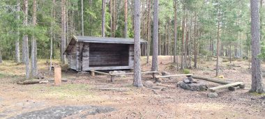
Fire Pits: 2
Toilets: 1
Wind shelters: 1
Closest wind shelter: no. 33 Öarna - Övre Blomsjön
Show on map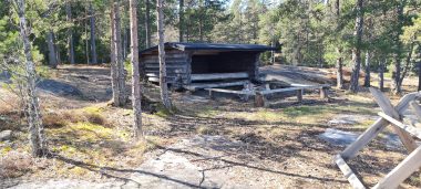
Fire Pits: 1
Toilets: 1
Wind shelters: 1
Closest wind shelter: no. 32 Hansuddeviken - Nedre Blomsjön
Show on map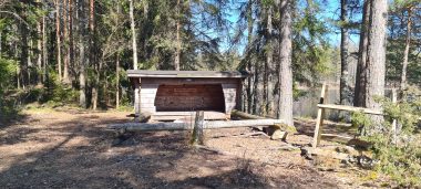
Wind shelters: 1
Fire Pits: 1
Toilets: 1
Closest wind shelter: no. 33 Öarna - Övre Blomsjön
Show on map
Wind shelters: 0
Fire Pits: 1
Toilets: 1
Closest wind shelter: no. 36 Hjärtenäset - Flötefjorden
Show on map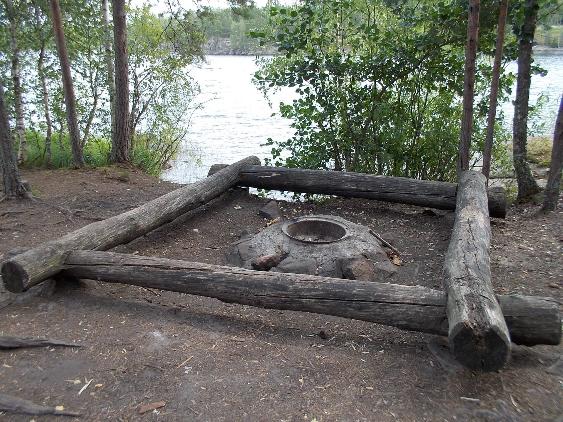
Wind shelters: 0
Fire Pits: 1
Toilets: 1
Closest wind shelter: no. 37 Bockön Nord - Flötefjorden
Show on map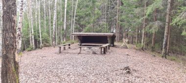
Wind shelters: 1
Fire Pits: 2
Toilets: 1
Closest wind shelter: no. 38 Bockön Syd - Flötefjorden
Show on map
Wind shelters: 0
Fire Pits: 1
Toilets: 1
Closest wind shelter: no. 37 Bockön Nord - Flötefjorden
Show on map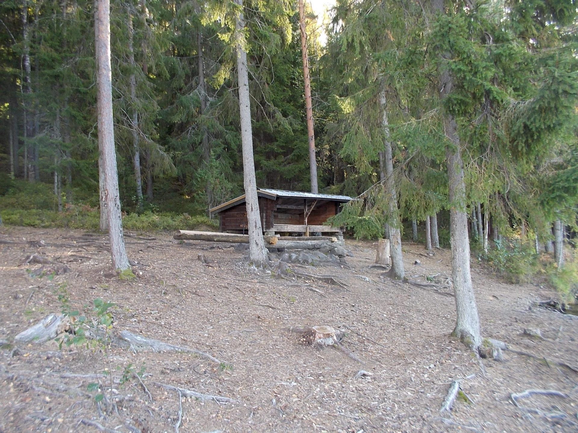
Wind shelters: 1
Fire Pits: 1
Toilets: 1
Closest wind shelter: no. 40 Kalvnäset Nord - Flötefjorden
Show on map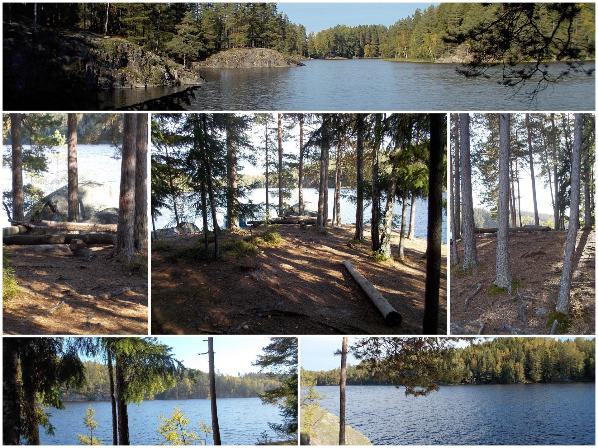
Wind shelters: 0
Fire Pits: 1
Toilets: 1
Closest wind shelter: no. 39 Lilla Sundsbyn - Flötefjorden
Show on map
Wind shelters: 1
Fire Pits: 1
Toilets: 1
Closest wind shelter: no. 40 Kalvnäset Nord - Flötefjorden
Show on map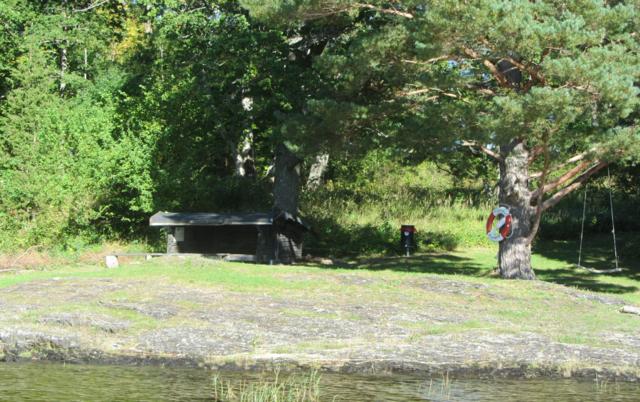
Fire Pits: 1
Toilets: 1
Wind shelters: 1
Closest wind shelter: no. 45 Håverud
Show on map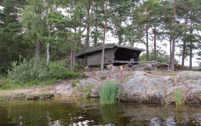
Fire Pits: 1
Toilets: 1
Wind shelters: 1
Closest wind shelter: no. 42 Björkön
Show on map
Fire Pits: 2
Toilets: 1
Wind shelters: 0
Closest wind shelter: no.43 Valön i Östebosjön - Note, you have to pass 6 locks to campsite 43.
Show on map
Fire Pits: 1
Toilets: 1
Wind shelters: 0
Closest wind shelter: no 45 Håverud
Show on map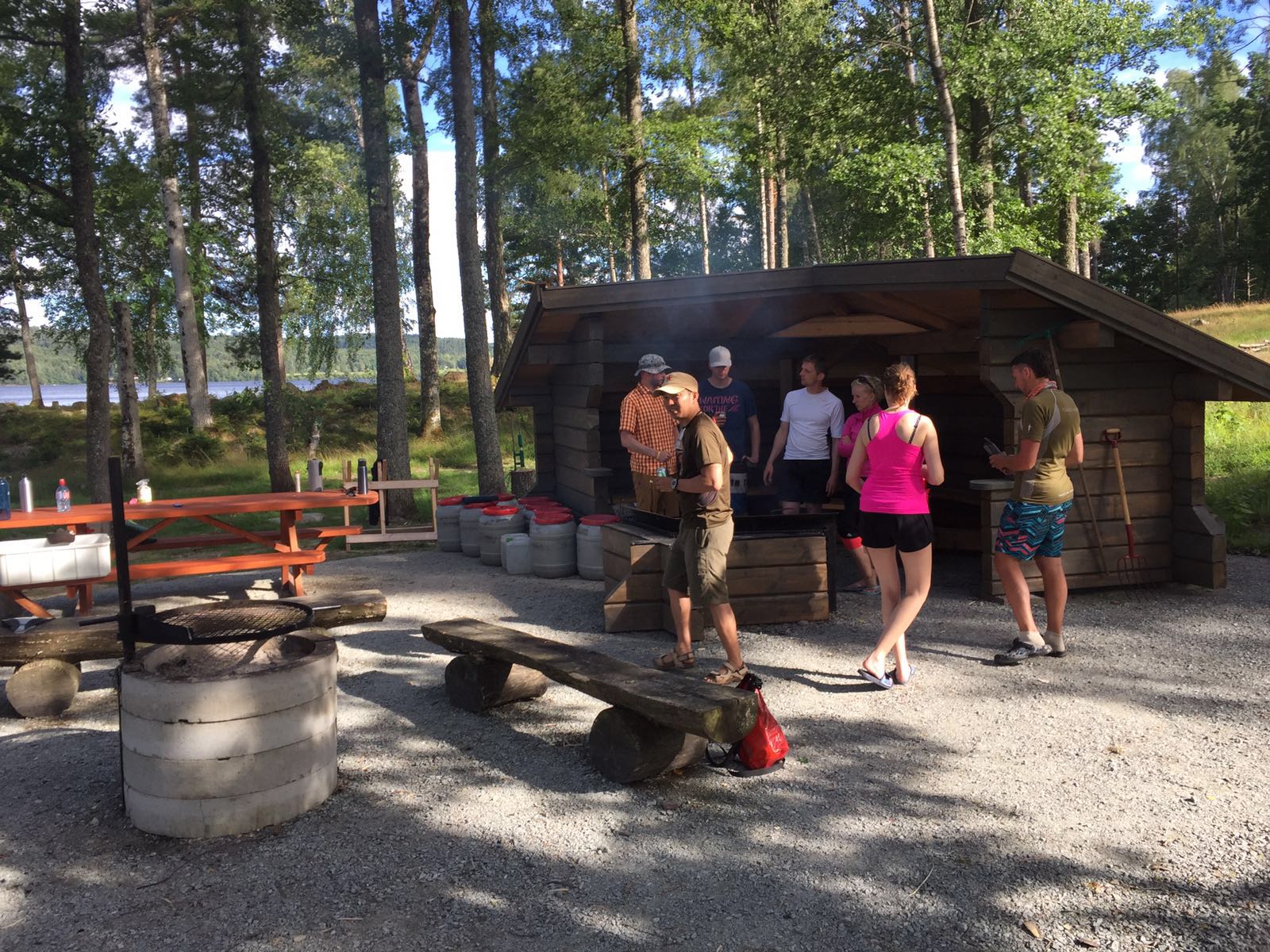
Fire Pits: 1
Toilets: 2
Wind shelters: 1 - seating only
Closest wind shelter: no.48 Ösan also located on the Lake Laxsjön at the nature reserve Ösan, about 1 km away.
Show on map

Fire Pits: 1
Toilets: 1
Wind shelters: 1
Closest wind shelter: Campsite 47 Baldersnäs – Laxsjön
Show on map
Fire Pits: 1
Toilets: 0
Wind shelters: 1
Closest wind shelter: no. 50 Trollviken in Lake Svärdlång, about 4 km canoeing north of Skåpanäset.
Show on map
Fire Pits: 1
Toilets: 1
Wind shelters: 1
Closest wind shelter: no. 51 Sundet in Lake Svärdlång, north of the Trollviken about 1 km canoeing.
Show on map
Fire pits: 1
Toilets: 1
Wind shelters: 1
Closest campsite: no 50 Trollviken further south on the same shore.
All camping, except on the official campsites, is forbidden on the shore of lake Svärdlång.
Show on map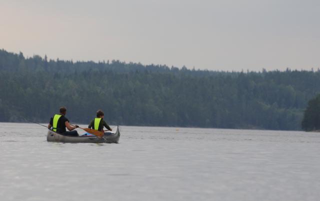
Fire pits: 2
Toilets: 1
Wind shelters: 1
Closest campsite: no 51 Sundet Svärdlång further south
All camping, except on the official campsites, is forbidden on the shore of lake Svärdlång.
Show on map
Toilets: 2
Wind shelters: 1
Closest campsite: no 54 Skinäset Väst west of this one on the same penninsula
All camping, except on the official campsites, is forbidden on the shore of lake Svärdlång.
Show on map
Fire pits: 2
Toilets: 2
Wind shelters: 1
Closest campsite: no 53 Skinäset Öst east of this one on the same penninsula
All camping, except on the official campsites, is forbidden on the shore of lake Svärdlång.
Show on map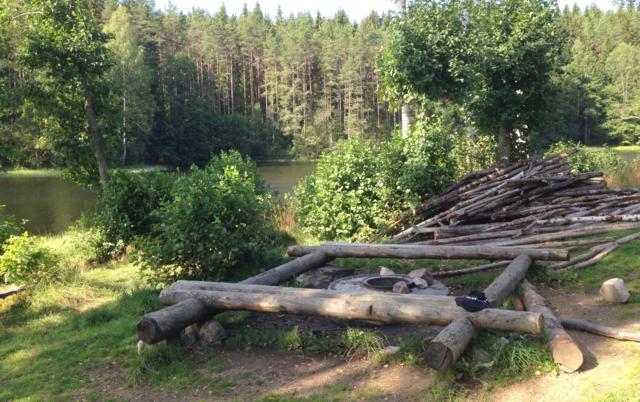
Fire pits: 2
Toilets: 2
Wind shelters: 0
Closest campsite: no 54 Skinäset Väst south in this lake
Fire pits: 3
Toilets: 2
Wind shelters: 1
Closest campsite: no 57 Dalholmen, on an island a bit more north in lake Lelången

Fire pits: 2
Toilets: 1
Wind shelters: 1
Closest campsite: no 56 Greaön, on an island a bit more south in lake Lelången
Show on map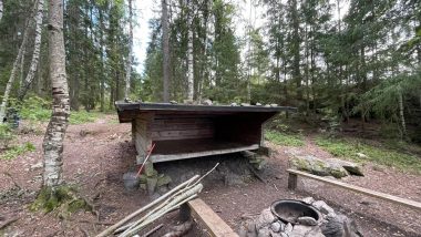
Fire pits: 1
Toilets: 1
Wind shelters: 1
Closest campsite: no 59 Herrenäs on the opposite side of the lake
Show on map

Fire pits: 4
Toilets: 1
Wind shelters: 1
Closest campsite: no 60 Åkerkärrsudden
Show on map
Fire pits: 3
Toilets: 2
Wind shelters: 1
Closest campsite: no 61 Taraldsön on the eastern shore of lake Lelången.
Show on map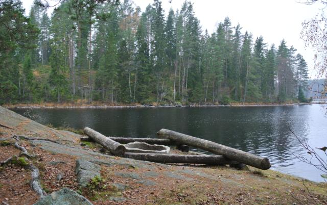
Fire pits: 2
Toilets: 1
Wind shelters: 1
Closest campsites: no 60 Åkerkärrsudden on the western shore of lake Lelången.
Show on map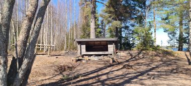
Fire pits: 1
Toilets: 1
Wind shelters: 1
Closest campsites: no 63 Hallön Väst
Show on map
Wind shelters: 1
Fire Pits: 4
Toilets: 2
Closest wind shelter: no. 64 Hallön Öst - Lelång
Show on map
Wind shelters: 0
Fire Pits: 2
Toilets: 2
Closest wind shelter: no. 63 Hallön Väst
Show on map
Wind shelters: 1
Fire Pits: 1
Toilets: 1
Closest wind shelter: no. 64 - Lelång
Show on map
Fire pits: 2
Toilets: 1
Wind shelters: 1
Closest campsites: no 68 Verkenäset
Show on map
Wind shelters: 1
Fire Pits: 2
Toilets: 1
Closest wind shelter: no. 67 Gummenäsön - Lelång
Show on map
Wind shelters: 1
Fire Pits: 2
Toilets: 1
Closest wind shelter: no. 72 Grisholmen
Show on map
Wind shelters: 1
Fire Pits: 1
Toilets: 1
Closest wind shelter: no. 71 Barholmen - Lelång
Show on map
Fire pits: 3
Toilets: 1
Wind shelters: 1
Closest campsite: no 89 Sloudden in lake Östra Silen, without wind shelter.
Show on map
Fire pits:2
Toilets: 1
Wind shelters: 1
Closest campsites: no 75 Storön Öst and no 76 Storön Väst
Show on map

Fire pits:7
Toilets: 4
Wind shelters: 1
Closest campsites: 74 Storön Syd
Show on map

Fire pits: 1
Toilets: 1
Wind shelters: 1
Closest campsites: 74 Storön Syd
Show on map

Fire pits: 2
Toilets: 2
Wind shelters: 2
Closest campsites: 76 Storön Väst
Show on map
Fire pits: 1
Toilets: 1
Wind shelters: 1
Closest campsites: 79 Lövnäsviken.
Show on map

Wind shelters: 1
Fire Pits: 2
Toilets: 1
Closest wind shelter: no. 78 Fagerön - Västra Silen
Show on map
Fire pits: 1
Toilets: 1
Wind shelters: 1
Closest campsites: none
Show on map
Wind shelters: 1
Fire Pits: 1
Toilets: 1
Closest wind shelter: no. 82 Åsnabben - Östra Silen
Show on map

Fire pits: 2
Toilets: 2
Wind shelters: 1
Closest campsites: no 85 Bada Syd and 86 Hängesten
Show on map

Fire pits: 1
Toilets: 2
Wind shelters: 1
Closest campsites: no 84 Bada Nord and 86 Hängesten
Show on map

Wind shelters: 1
Fire Pits: 2
Toilets: 2
Closest wind shelter: no. 85 Bada Syd - Östra Silen
Show on map
Fire pits: 1
Toilets: 1
Wind shelters: 1
Closest campsites: no 88 Södra Krokholmen

Fire pits: 1
Toilets: 1
Wind shelters: 1
Closest campsites: no 89 Sloudden (no wind shelter) and no 87 Norra Krokholmen

Wind shelters: 1
Fire Pits: 1
Toilets: 1
Closest wind shelter: no. 91 Harhalsen
Show on map
Wind shelters: 1
Fire Pits: 1
Toilets: 1
Closest wind shelter: no. 92 Stussholmen - Östra Silen
Show on map
Wind shelters: 1
Fire Pits: 2
Toilets: 1
Closest wind shelter: no. 91 Harhalsen - Östra Silen
Show on map

Wind shelters: 1
Fire Pits: 2
Toilets: 1
Closest wind shelter: no. 83 Trollön - Östra Silen
Show on map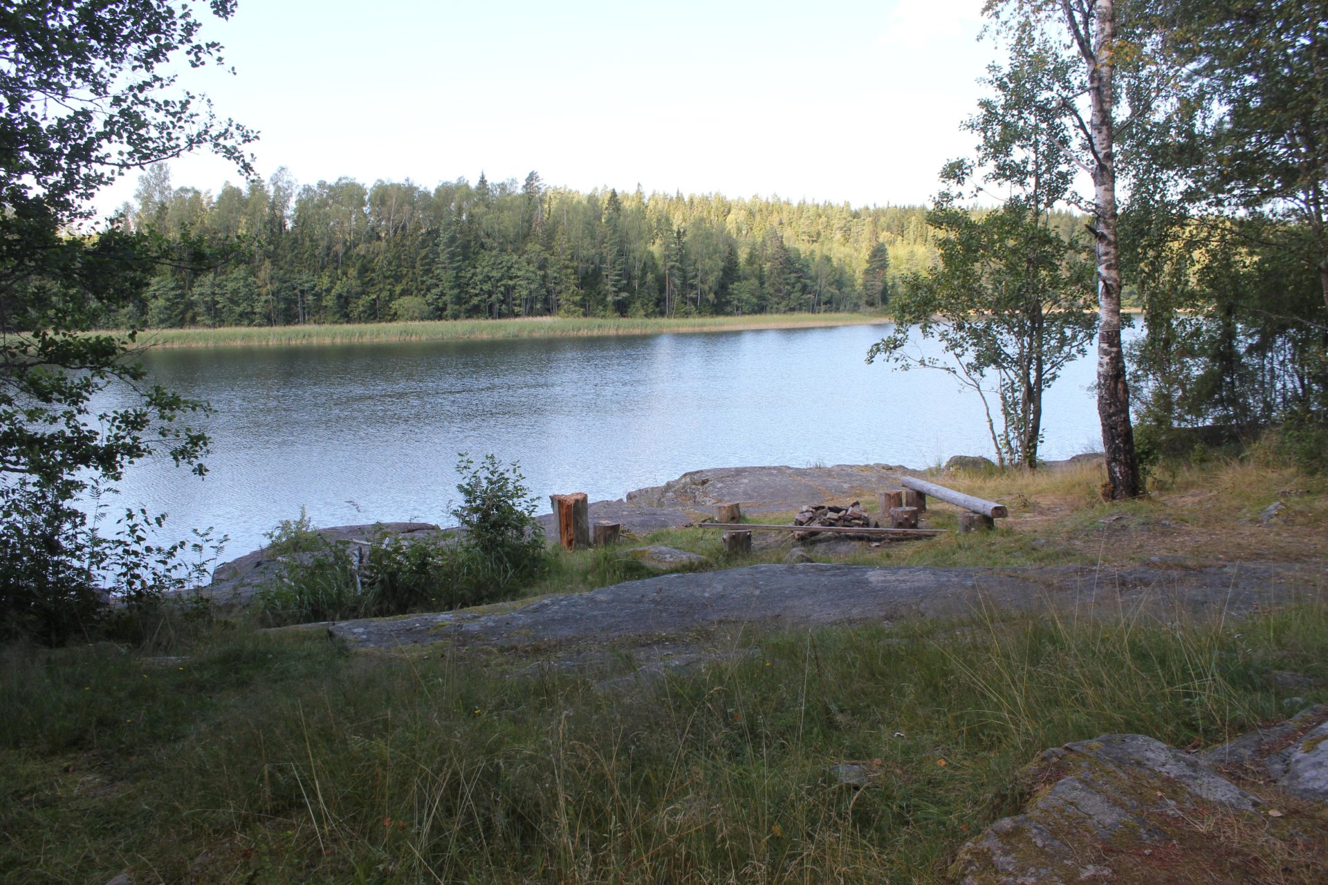
Wind shelters: 1
Fire Pits: 2
Toilets: 1
Closest wind shelter: no. 93 Djäkenäset - Östra Silen
Show on map

Wind shelters: 1
Fire Pits: 2
Toilets: 1
Closest wind shelter: no. 94 Mörnäs - Östra Silen
Show on map

Fire Pits: 1
Toilets: 1
Wind shelters: 1
Closest wind shelter: none in this lake.
Show on map
Fire Pits: 1
Toilets: 1
Wind shelters: 1
Closest wind shelter: no in 9 km
Show on map
Fire Pits: 2
Toilets: 1
Wind shelters: 1
Closest wind shelter:
Show on map
Fire Pits: 1
Toilets: 1
Wind shelters: 1
Closest wind shelter: no. 102 Hollsten in lake Ömmeln, ca 3 km north, with land transport of about 1,3 km
Show on map

Fire Pits: 1
Toilets: 1
Wind shelters: 1
Closest wind shelter: no 102 Mjölkudden on Lake Ömmeln, about 1.5 km portage.
Show on map
Fire Pits: 1
Toilets: 1
Wind shelters: 1
Closest wind shelter: no. 100 Mjölkudden in Lake Edslan, about 1 km portage and 1.5 km canoeing.
Show on map

Fire pits: 1
Toilets: 1
Wind shelters: 1
Closest campsites: no 87 Norra Krokholmen
Show on map
Fire pits: 1
Toilets: 1
Wind shelters: 1
Closest campsites: 74, 75 and 76 on the island Storön.
Show on map

Fire Pits: 1
Toilets: 1
Wind shelters: 1
Closest wind shelter: no. 36 Hjärtnäset
Show on mapWind shelters: 1
Fire Pits: 1
Toilets: 1
Closest wind shelter: no. 8 Trollön
Closest grocery: Nössemark
Wind shelters: 1
Fire Pits: 1
Toilets: 1
Closest wind shelter: no. 67 Gummenäsön or 68 Verkenäset
Show on mapLat: 59.35537 Long: 11.903267
Gåsön is a small DANO campsite without shelter, suitable for small groups and a maximum of two canoes. The site is not intended for larger groups.
Fire Pits: 1
Toilets: 1
Wind shelters: 0
Closest wind shelter: Campsite 11
Show on map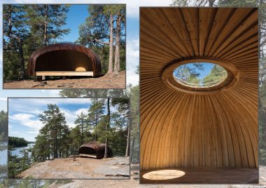
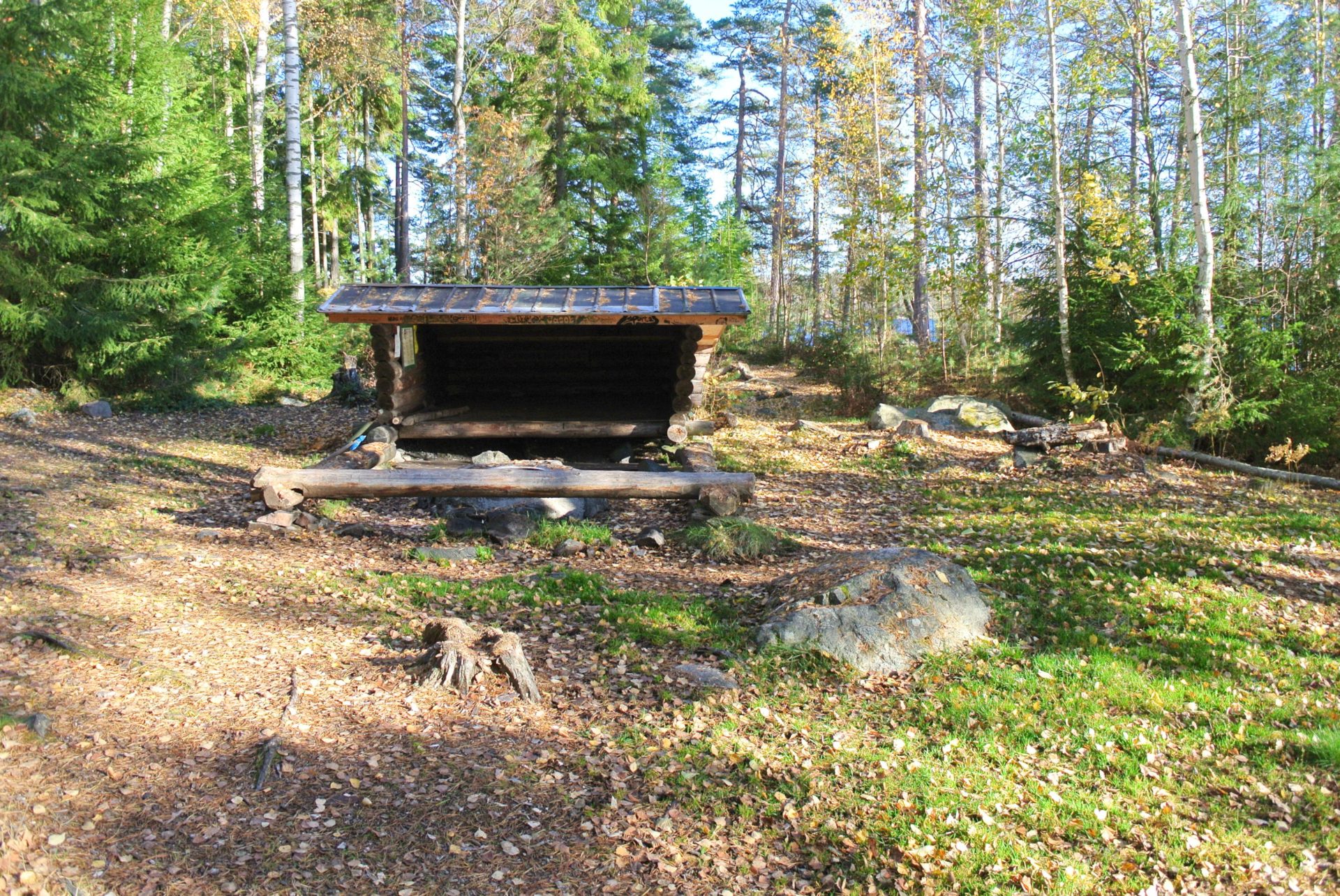
This shelter is built in 2021 through the project Själaskjulen. It is next to the campsite no.87
At Snäckan there is room for 6-10 people.
You can book a maximum of one night.
Cost SEK 300 plus one nature conservation card per person.

DANO Vikningen a shelter next to DANO 50 at Lake Svärdlång
There is room for 4- 6 persons
Price: 200 kr plus a nature conservation card SEK 60 / person.
Not cancellable and you can stay max. one night at this shelter.
Show on mapCampsites
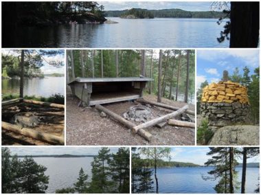
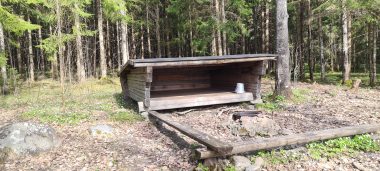
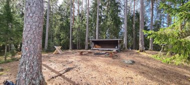
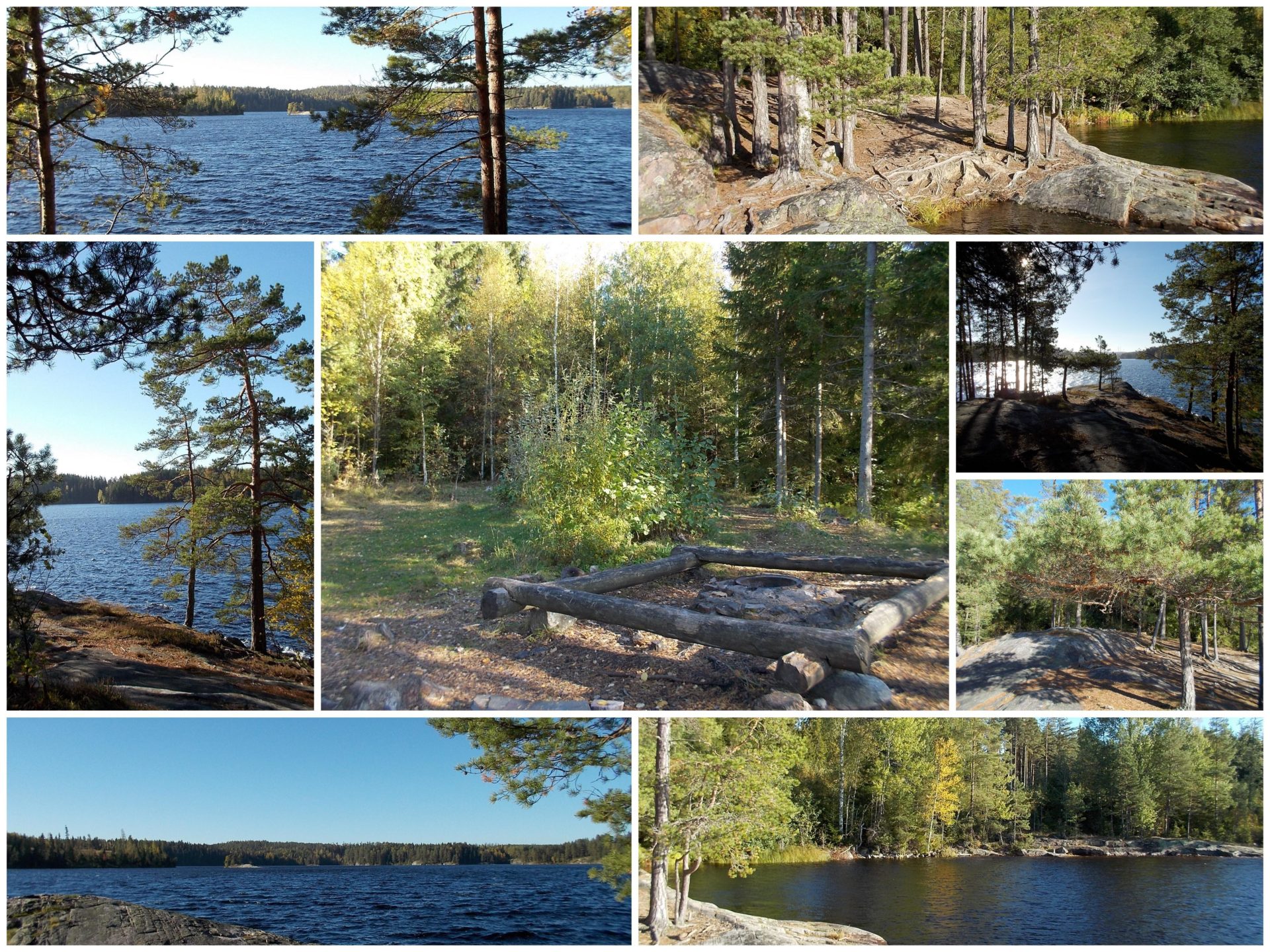
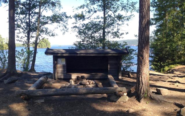
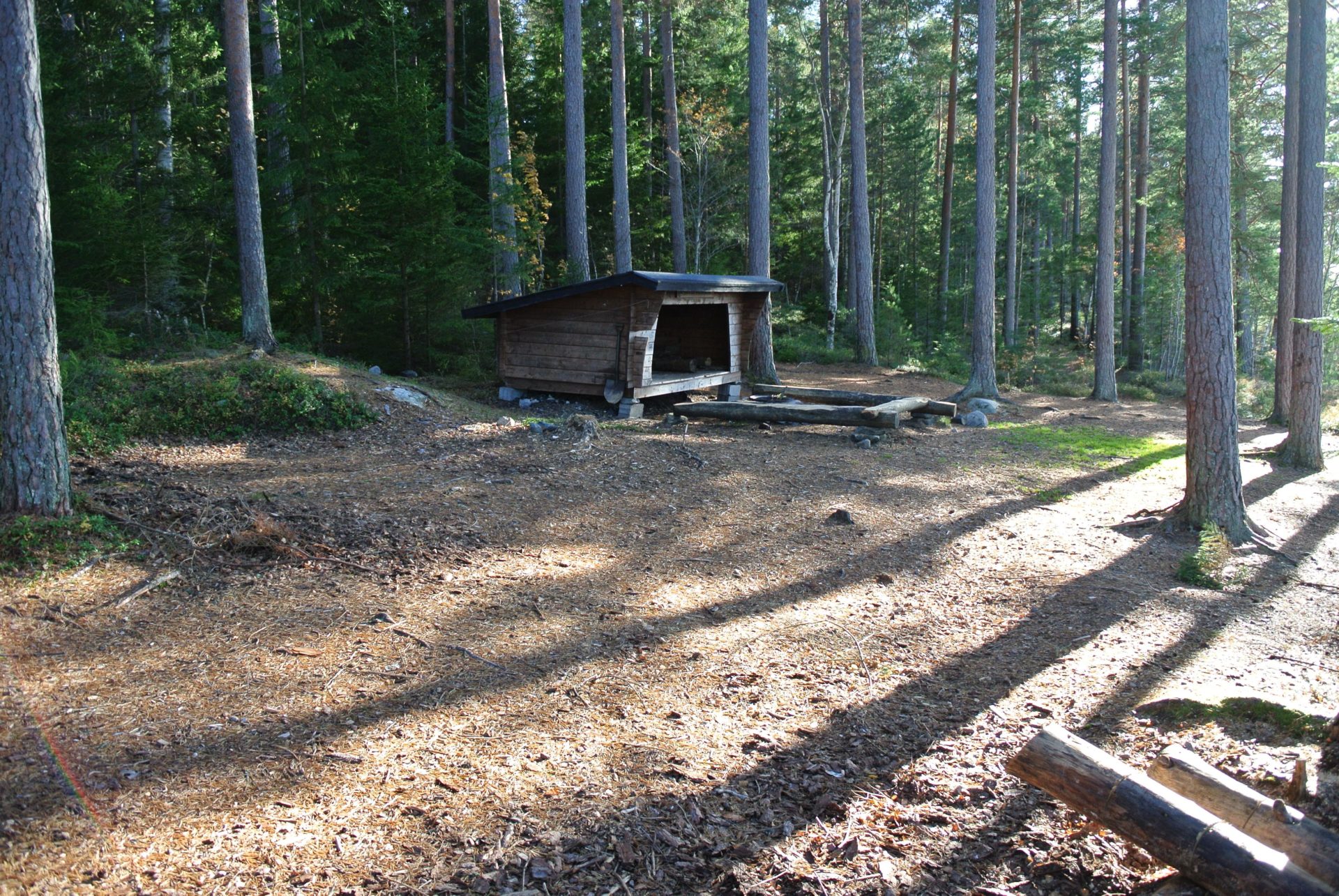
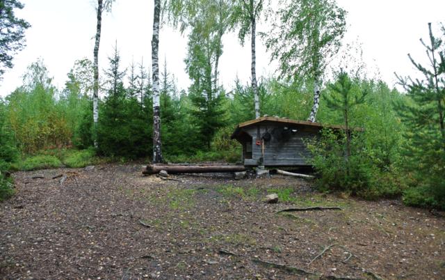
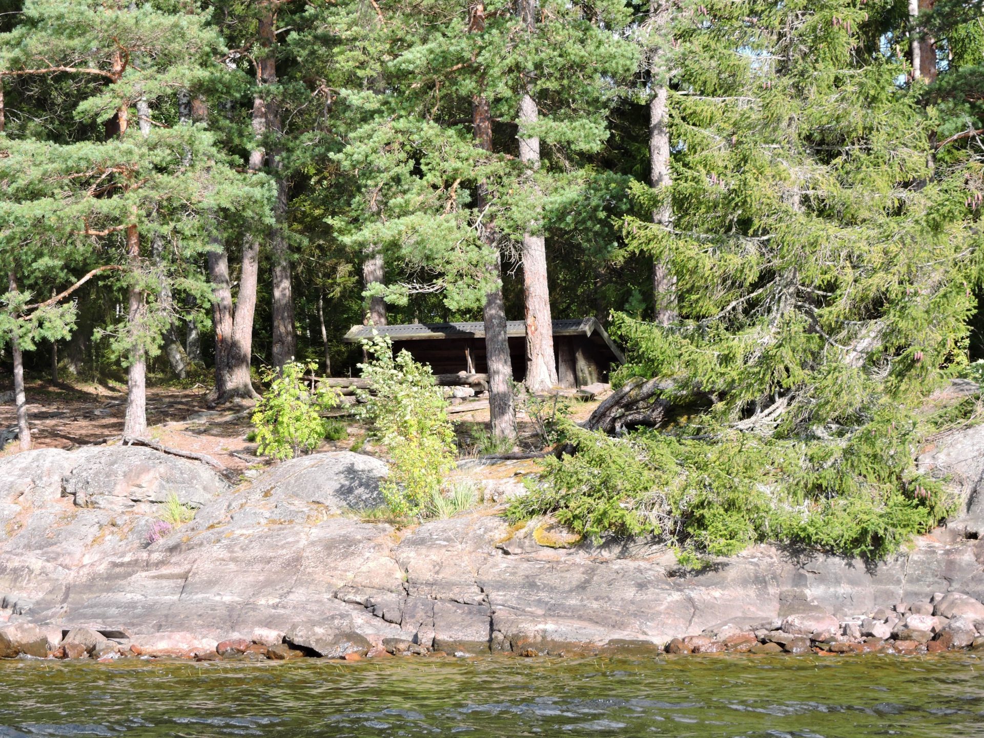
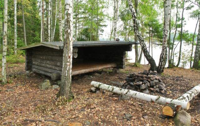
There are over a hundred campsites in the Dalsland Nordmarken lake system. The DANO non-profit association has invested in these to protect our fragile natural environment and to give visitors the best experience possible. The flora and fauna of the area and the requests of landowners have been taken into consideration in the selection of the campsites. Most of the campsites have wind shelters and all have permanent fire pits and organic toilets. Most of the campsites have wood for our guests to use. The wood usually needs to be cut and split. Please note that the wood may only be used in the existing and approved fire pits available at each site. This service is funded through the sale of Nature Conservation Cards.